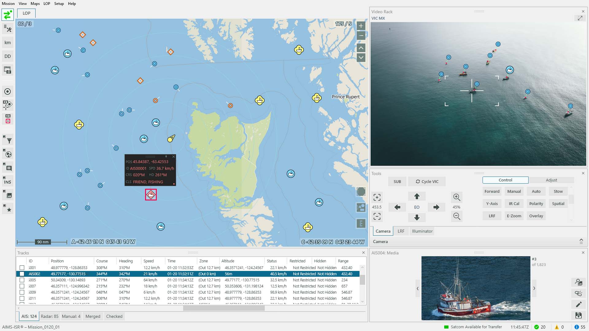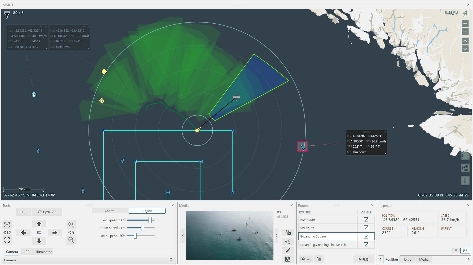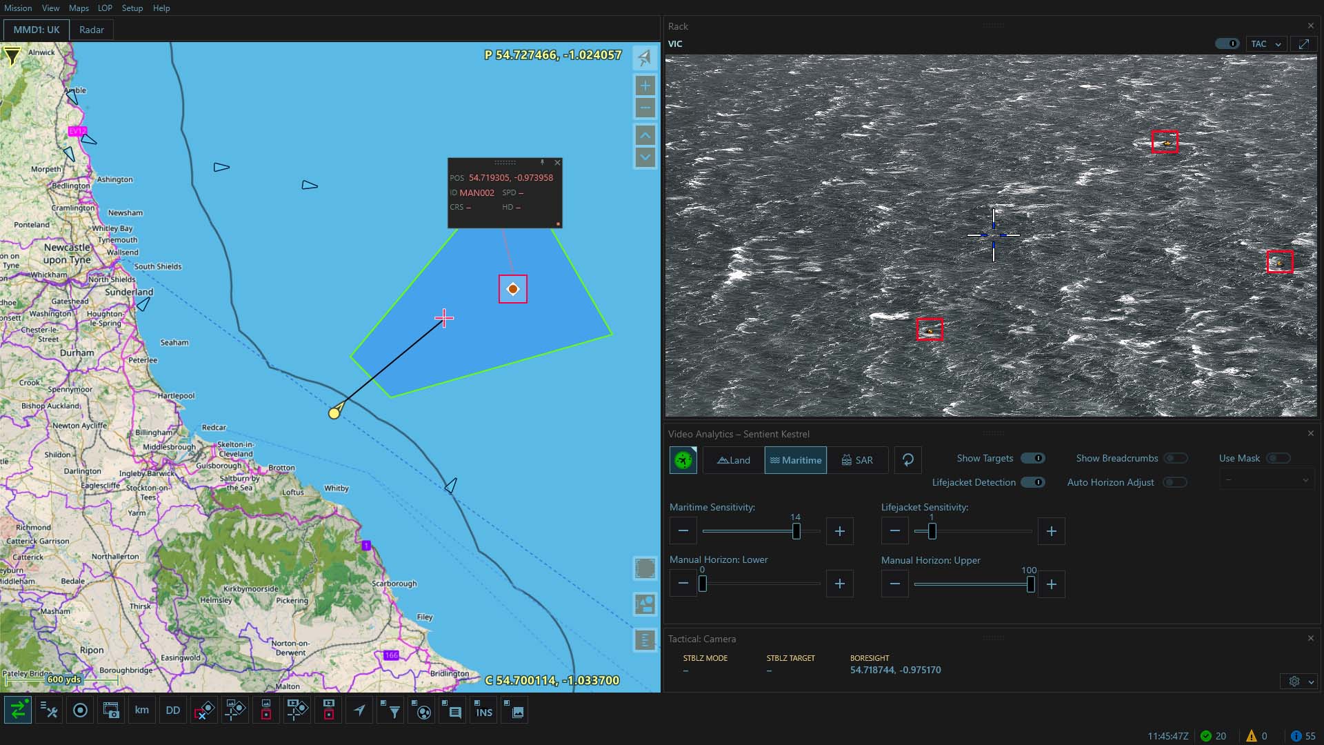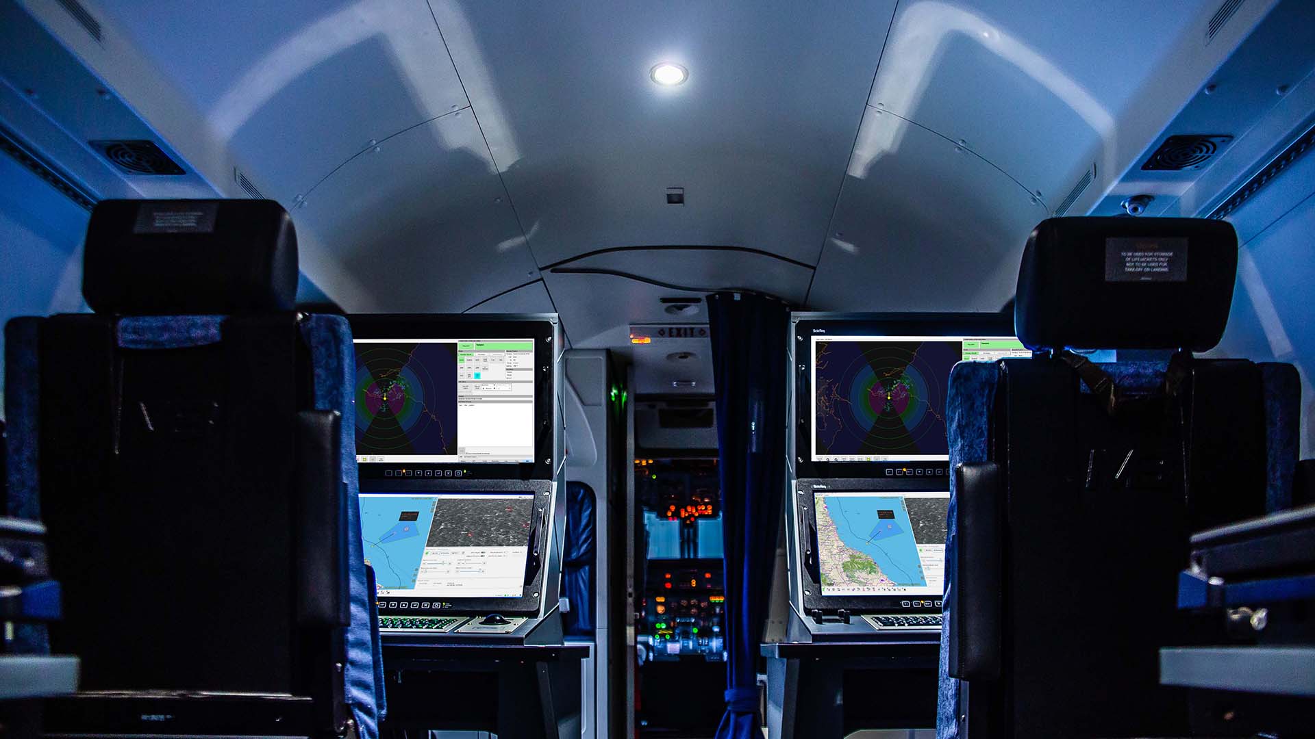
CarteNav is an international leader in the development of intelligence, surveillance and reconnaissance (ISR) mission software for maritime, land, and air environments.
The company has established a reputation for providing highly adaptable solutions for multiple mission types. From government and military operations to commercial customers, CarteNav always embraces the complex challenges that come with meeting a variety of mission requirements.
The Future of ISR Mission Software
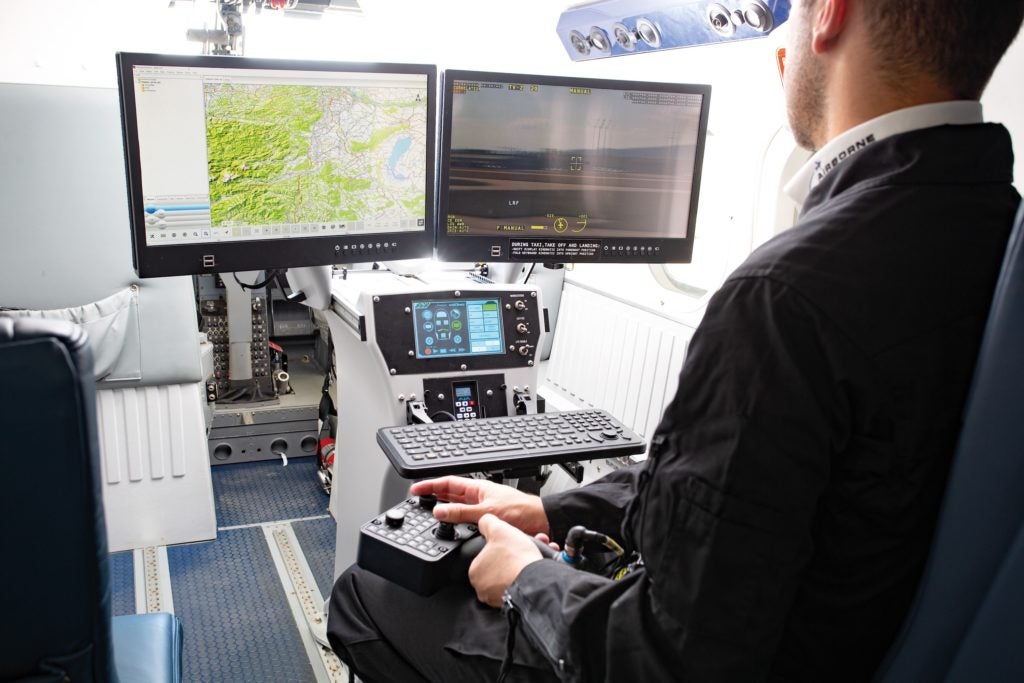
Modern-day multi-role ISR operations require mission software that offers unmatched flexibility, adaptability, and intuitive features. CarteNav ISR mission software has been specially developed to meet a wide range of diverse systems integration requirements.
CarteNav’s solution-focussed team strives to achieve operational success for today’s ISR missions. Through continual innovation and dedicated service; CarteNav seeks to enhance situational awareness across any kind of critical mission operations.
Special Mission Software for any Mission on any Platform
Every mission has complexities and challenges that require specific software capabilities to meet operational needs.
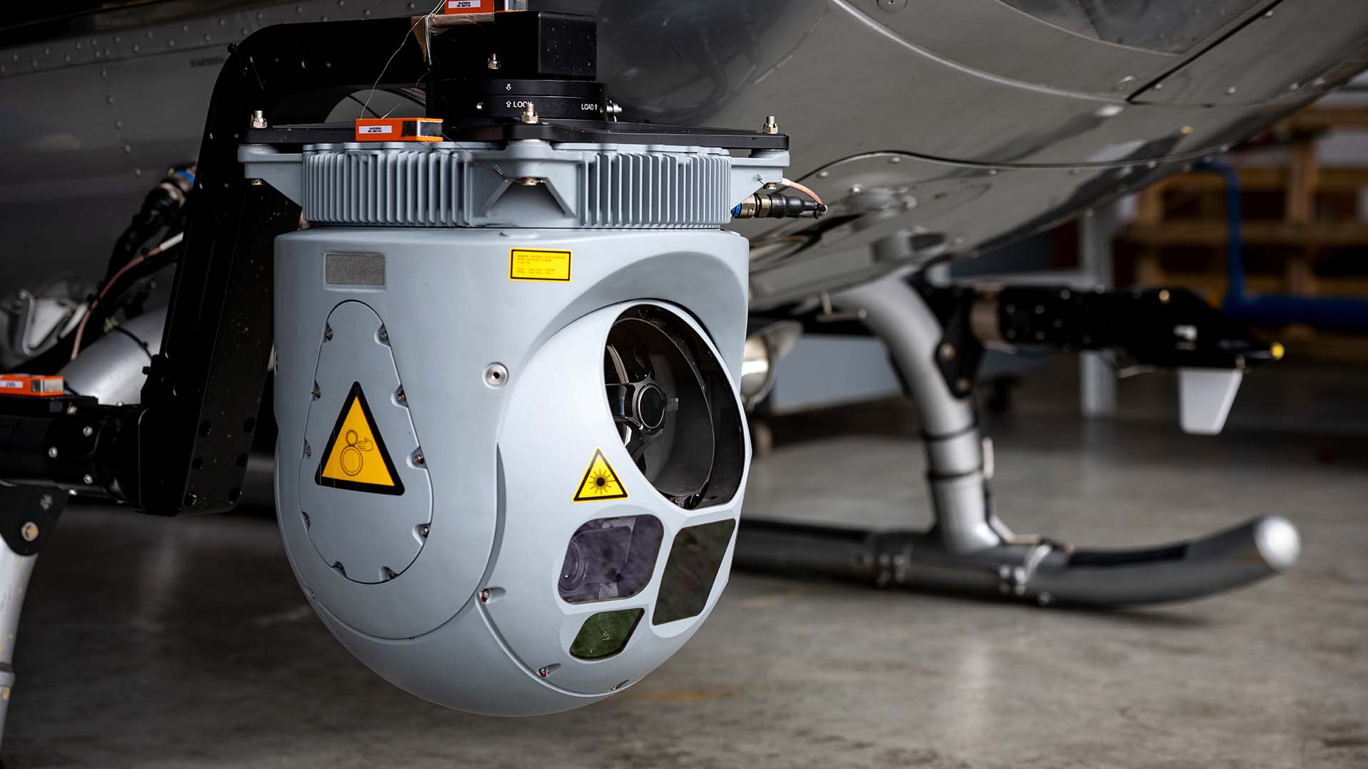
- CarteNav’s industry-leading software is designed to seamlessly integrate with any sensor for any task, allowing for maximum flexibility and ease of operation.
- Featuring a hardware-agnostic system to effortlessly power today’s multi-role ISR expeditions.
- Plugin architecture technology allows for flexibility in utilizing any sensor integrated on a chosen platform.
- Mission requirements always come first – operators should never have to compromise to meet their unique challenges.
- Any mission, any platform – CarteNav’s software is ready to be integrated to be used for any type of operation with ease.
A Complete Mission Data Lifecycle
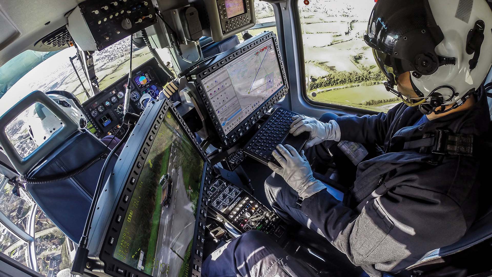
CarteNav software allows users to effectively gather mission data quickly and accurately, cutting mission time in half. Intuitive data-gathering capabilities allow for operators to put their data to work for planning, execution, and review of ISR missions.
Featuring:
- Target of interest (TOI) tracking
- EO/IR moving maps footprint
- TacVision, classification & mission progress status
- Perimeter mapping and auto EO snapshots.
- Other powerful capabilities to manage missions and respective data properly.
The success of a future mission relies on mission planning and review of past missions. Operators can access custom mission data and databases, post-mission report generation, mission media viewer and editor, interactive mission review, and KLV metadata for 3D post-mission debrief.
Staying in control of the mission data lifecycle is essential for today’s mission operators.
About CarteNav
CarteNav is proud to have over 500 customer installations in over 40 countries.
Operators worldwide rely on our intuitive ISR mission software to fulfil unique multi-role mission requirements.
Notable customers and partners include the Royal Australian Navy, the Government of Canada, Heliwest Group, Police Scotland, the New Zealand Ministry of Defence, and the UK National Police Air Service.

